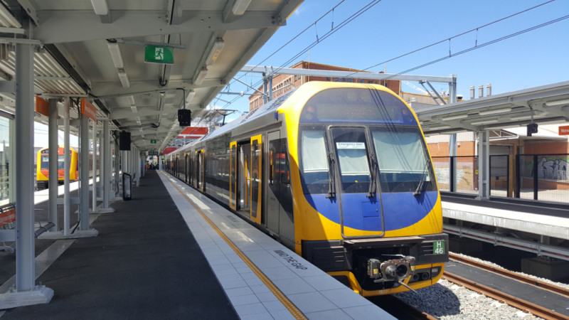
Google Extends Street View Service To Sydney Trains And Subway Stations

Google announced the expansion of its Street View service to Sydney’s train and subway stations. The search giant says that you will be able to use these images to understand the status of the stations you plan to use so that you will not get lost when you arrive. If you can’t get to Sydney, you can also experience these stations in this way.
In order to cope with the launch of Sydney Station Street View, Google also introduced barrier-free routes to the station so that commuters can find the best entrances, exits, signs, and routes in the station, and even predict the traffic time along the way. The content provided by Google will be shared with the Open Data website of the New South Wales Department of Transport, which will enable the transportation industry and application developers to obtain this detailed information to improve their services and products.
Read More: Google Adds a New Go Tab to Google Maps
Ramesh Nagarajan, director of product management for Google Maps, commented on these new features: “Whether you are planning or navigating commuting, we hope these tools will make Sydney Station feel more familiar–and help you commute with more confidence.”.
Research Snipers is currently covering all technology news including Google, Apple, Android, Xiaomi, Huawei, Samsung News, and More. Research Snipers has decade of experience in breaking technology news, covering latest trends in tech news, and recent developments.


